
You probably already know that New Zealand is full of stunning scenery everywhere you look with countless hikes to choose from. In this list, I’ll share some incredible trails that might not show up in a quick Google search or on your Instagram feed.

Before you head out, be sure to check the weather, and I’m not just talking about the preloaded weather app on your phone because as we all know that can be quite unreliable. My go-to for planning hikes and dives is Windy. It shows me everything from expected rainfall and cloud covers to wind speeds at specific times. It has been a godsend, and I can’t recommend it enough.

Now, I know a bunch of you use AllTrails and I’m not here to hate, but another app that I’ve really been loving is Gaia GPS. It’s designed for hiking, backpacking, and camping, and it is especially good for when you’re out of service. Think of it as more of an advanced version of Google Maps. I mostly use it to build routes and check how much elevation I’ll gain from point A to B. It’s also great for exploring remote areas, trails, huts and campsites.
North Island
1. Mt. Karioi
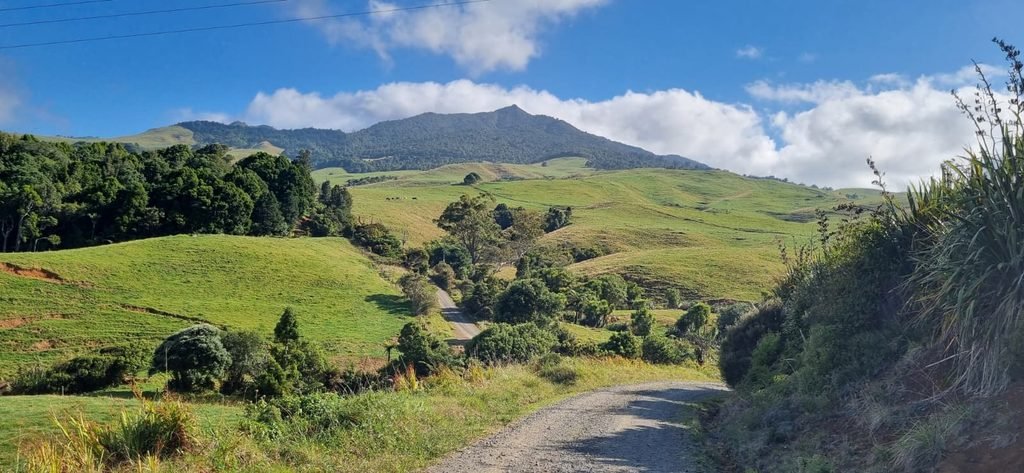
Mt. Karioi is an ancient volcano located on the west coast near Raglan (a cheeky local surf town). It is less than 1-hour drive from Hamilton and about two hours from Auckland. If you’re in the area and have some time on your hands this is the hike for you. There are two tracks to the summit of Karioi. We went from Karioi Rd Car Park doing the Wairake Track to the summit, but learned later that Te Toto Gorge Car Park might have been a more steep but fun option with chains and ladders to help with the rocky incline.
When you reach the top you are rewarded with 360 degree views with Raglan’s harbour and the beautiful farmland of the North Island. If you’re lucky and on a clear day you will be able to see Mt. Taranaki to the south.
Te Toto Gorge Car Park – 3.9km with about 525m of elevation gain
Karioi Rd Car Park – 3.3km and 515m of elevation gain
2. Pouākai Tarns reflection pools via Kaiauai car park
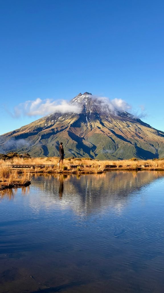
I’m not going to lie: this hike is very popular, but hear me out first. The hike I am talking about starts at the Kaiauai Car Park. Most people visit the Pouākai Tarns via the Mangorei Track, a roughly 5km hike that takes two and a half hours to reach the reflection pool.
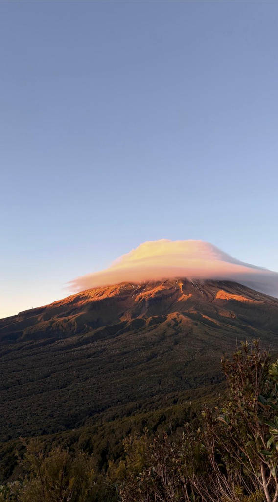
The route I’m recommending starts at Kaiauai Car Park and takes you up and over Henry’s peak, where you’ll get incredible views of Mt. Taranaki. It’s 7.4km each way, with 684 m of elevation gain. Before you reach Henry’s peak there is a long stretch of stairs, I genuinely didn’t think they’d ever end, and I may or may not have had a breakdown along the way… In my defense I hadn’t had any coffee yet.
We started our hike before sunrise which gave us some incredible light. When we reached the reflection pools, there were more hikers than we expected, especially since we hadn’t passed anyone on our route- most people take the easier track. Anyways in order to get your perfect photo with the reflection pools you’ll need very little wind, which is easier said than done. Still, if the sun is out and the clouds stay away, you’re likely to get a great photo either way.
3. Tongariro Alpine Crossing (Mordor)
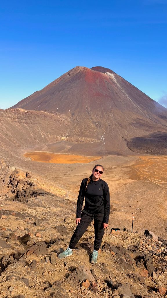
This is probably New Zealand’s most famous hike so I’m only here to give you a little tip- there’s already plenty of information about it online.
Parking and shuttle arrangements can be confusing, and the rules may vary by car park and season. Late October to April 30th you’re going to run into a problem. They only allow four hours maximum to park in either car park, which is a problem because the crossing is 20.2km and takes 6-8 hours to finish. New Zealand’s Department of Conservation (DOC) recommends you to book a shuttle which is $75 NZD PER PERSON ONE WAY.
We ended up doing the hike in early May (which was out of season) and therefore had no parking restrictions. So we managed to convince our friends to do it with us, that way we were able to park one car at the end of the crossing and one car at the start.
If you’re like me, and want to save that $75, there are a few Facebook groups you can join with the option to car pool.
South Island
4. Gertrude Saddle
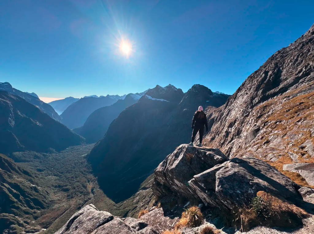
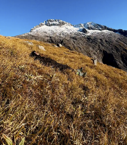
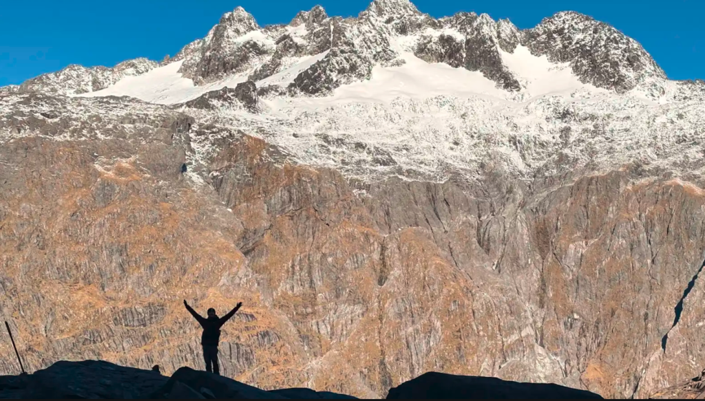
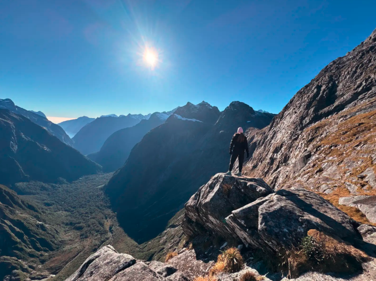
Tucked away in Fiordland National Park, Gertrude Saddle was one of my favourite hikes, and definitely one that kept things interesting. The adventure starts at Gertrude Valley Car Park followed by 45 min to an hour of walking through the valley. As you start climbing, you’ll pass a waterfall and plenty of signs warning you not to trust wet rocks. Water from the waterfall can freeze on the rocks, so watch your footing!
Then come the steep bits, where you scramble up smooth rock slabs with steel cables to help you along. It’s a bit of a workout, but reaching the top makes it all worthwhile, you’re surrounded by a jaw-dropping 360 degree panorama of mountains, with Milford Sound visible in the distance on a clear day.
The trek is about 8.6km round trip and about 670m of elevation gain.
5. Mt Fyffe
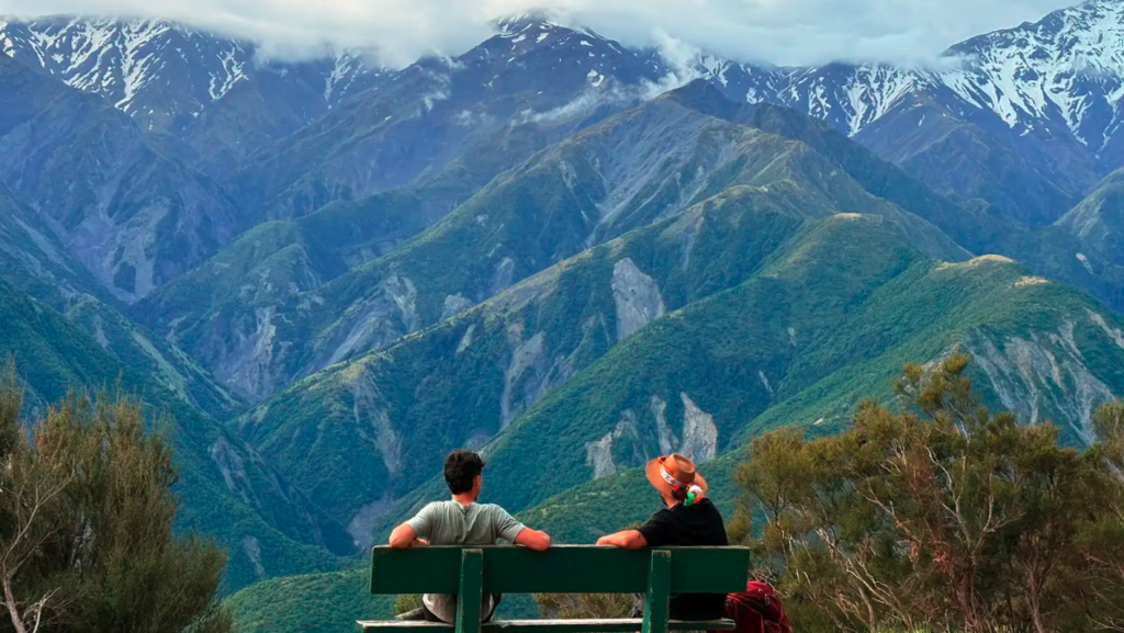
If you’re visiting New Zealand’s South Island, put this hike at the top of your list. First of all because everyone loves Kaikoura, it has it all: wildlife, ocean views and gorgeous mountains.
You can choose to hike to Mt Fyffe Hut, or push all the way to the summit. We started around 5pm and stayed overnight in the hut. The next morning we got up at 4:30 am to catch the sunrise from the summit, and oh lord it was well worth it.
From the car park, it’s a steady climb, but at least you get some incredible views and benches along the way to catch your breath.
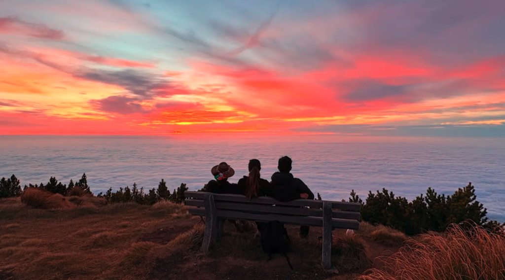
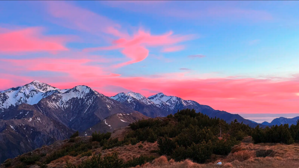
The hut is 5.6km from the carpark, with about 917m of elevation gain. If you continue to the summit the route is 8.6 km with about 1400m of elevation gain.
Try to avoid doing this hike in the heat of the day. You’ll thank me later.
6. Peak Hill
In my opinion, this hike was even better than the famous Roys Peak near Wanaka. It is a one hour and a half drive from Christchurch and offers beautiful views of Lake Coleridge and Mt Hutt.
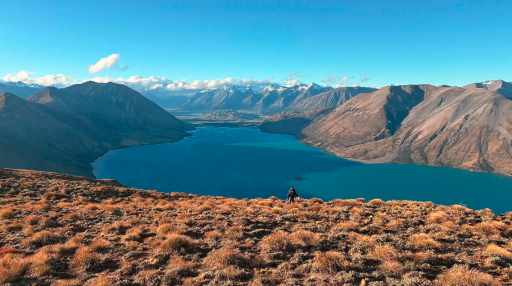
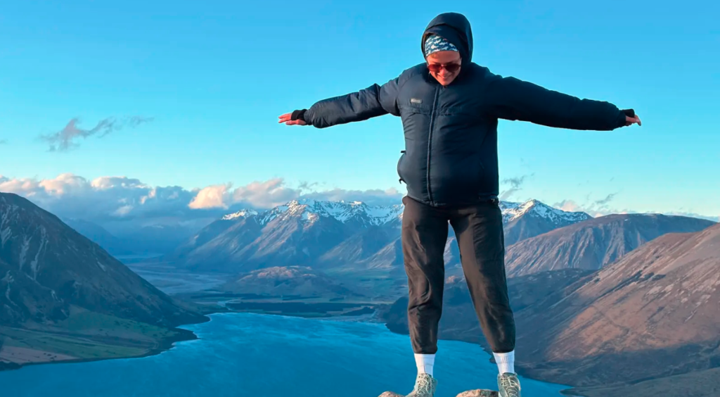
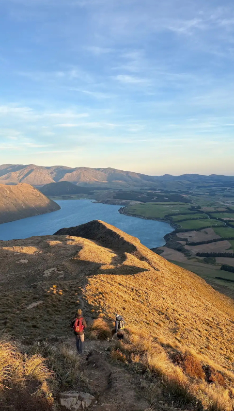
The trail is exposed to the elements, so bring a windbreaker and something to cover your ears- you’ll be glad you did. After parking you’ll cross farmland, and start climbing almost immediately. The incline continues for about 45 min to one hour before easing up a little. Keep pushing because the views at the top were truly breathtaking and I was surprised the trail wasn’t busier.
It’s a 5.6 km return hike with 623m elevation gain.
I’m sure there are a crazy number of hikes in New Zealand, and this list barely scratches the surface. Honestly, you could spend a lifetime exploring them, or at least a very long time trying to convince your knees to do one more. Hopefully, I’ve given you a few ideas for your trip, and introduced you to a trail or two you haven’t heard of before.
Have fun, and give your knees a pep talk for me,
D